
TL;DR

Get business pricing on monitors, keyboards and dev gear
- Business-only prices and quantity discounts
- Tax-exempt purchasing
- Multiple users, one account, clear invoices
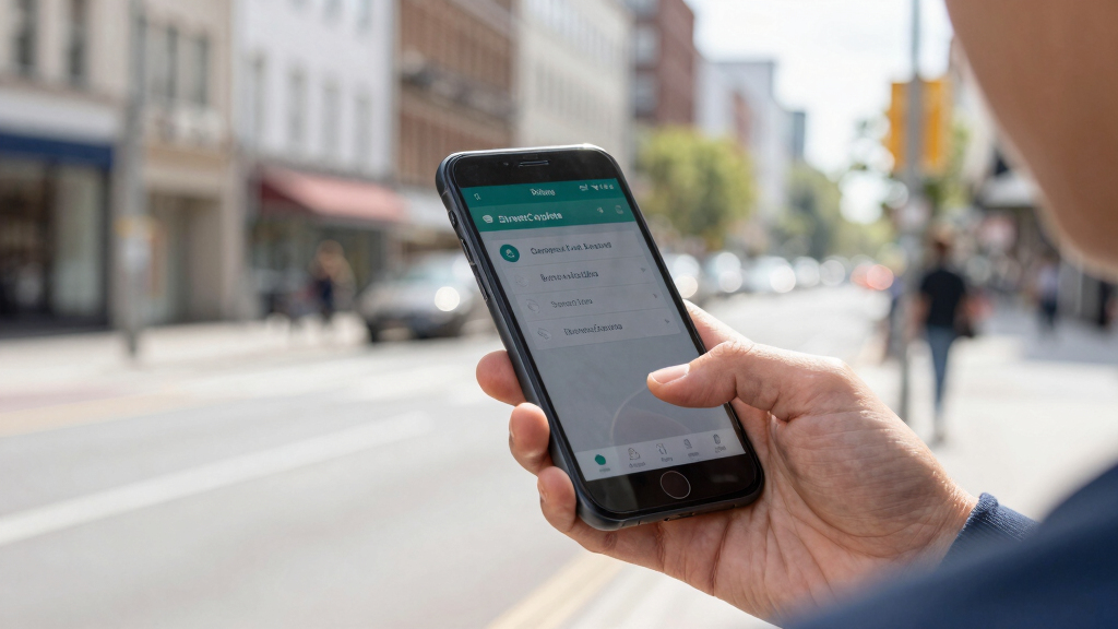
StreetComplete is a mobile app that encourages users to improve OpenStreetMap through simple, guided quests. It aims to increase data quality and community engagement, with ongoing development and expanding features.
StreetComplete, a mobile application designed to streamline contributions to OpenStreetMap, is gaining attention for its approach of guiding users through small, specific editing tasks called ‘quests.’ This development is significant for the open mapping community, as it aims to increase data accuracy and user participation by making editing accessible and straightforward.
The app, launched in 2019 and actively maintained, presents users with simple questions about map features, such as whether a building has a name or if a road has a speed limit. These ‘quests’ are designed to be quick and easy to complete, lowering barriers for casual contributors. According to the developers, StreetComplete has seen a growing user base, with thousands of downloads and numerous updates that expand the types of quests available.
OpenStreetMap (OSM), a collaborative mapping platform, relies heavily on volunteer contributions to maintain and improve its data. However, many users find editing complex or intimidating, leading to gaps or inaccuracies. StreetComplete addresses this by breaking down editing into bite-sized tasks, which can be completed in minutes. The app also integrates with OSM’s editing tools, allowing users to directly submit updates once a quest is completed.
Implications for OpenStreetMap Data Quality and Community Engagement
This development matters because it could significantly enhance the quality and completeness of OpenStreetMap data by encouraging more users to contribute regularly. Simplifying editing tasks lowers the barrier for newcomers, potentially expanding the volunteer base. As more users participate, the map becomes more accurate and detailed, which benefits applications relying on OSM data, such as navigation, urban planning, and disaster response.
Moreover, StreetComplete exemplifies a shift toward gamified, user-friendly mapping tools that democratize geographic data collection. This approach could influence future open mapping initiatives and increase overall engagement in collaborative data projects, especially among non-technical users.
As an affiliate, we earn on qualifying purchases.
Background and Growth of User-Friendly Mapping Tools
OpenStreetMap, launched in 2004, has grown into one of the world’s largest open geographic data repositories, driven entirely by volunteer contributions. Despite its success, many potential contributors are deterred by the complexity of editing software or lack of familiarity with mapping standards. To address this, various tools and apps have emerged to simplify the process, with StreetComplete being one of the most prominent recent examples.
Initially developed by Christoph Hormann, StreetComplete has gained popularity for its intuitive interface and quest-based approach. Its growth aligns with broader trends in crowdsourcing and gamification, which aim to increase participation in open data projects. The app’s recent updates have expanded the range of quests, including details like building amenities, road conditions, and natural features, further enriching OSM’s data quality.
“Our goal is to make contributing to OpenStreetMap as simple and accessible as possible, even for those with no prior mapping experience.”
— Christoph Hormann, developer of StreetComplete
handheld GPS device for navigation
As an affiliate, we earn on qualifying purchases.
As an affiliate, we earn on qualifying purchases.
Unconfirmed Impact on Long-Term Data Quality and User Retention
While initial data suggests increased contributions through StreetComplete, it is not yet clear how sustained user engagement will be over time or how much the overall data quality will improve long-term. The extent to which casual users will continue contributing beyond initial quests remains to be seen, and ongoing evaluation is needed.
mobile mapping tools for OpenStreetMap
As an affiliate, we earn on qualifying purchases.
As an affiliate, we earn on qualifying purchases.
Future Development and Potential Expansion of Quest Types
Developers plan to continue expanding StreetComplete’s features, adding more quest types and integrating with other mapping tools. They also aim to improve user onboarding and community features to foster a more active contributor base. Monitoring user engagement and data improvements over the coming months will be key to assessing its long-term impact.
smartphone accessories for outdoor mapping
As an affiliate, we earn on qualifying purchases.
As an affiliate, we earn on qualifying purchases.
Key Questions
How does StreetComplete differ from traditional OpenStreetMap editing?
StreetComplete simplifies editing by guiding users through small, specific questions called quests, which can be completed quickly without requiring advanced mapping skills or software knowledge.
Can anyone use StreetComplete to contribute to OpenStreetMap?
Yes, the app is designed for casual users and beginners, making it accessible for anyone with a smartphone and an interest in mapping.
Will contributions made through StreetComplete be reviewed before appearing on the map?
Contributions are directly submitted to OpenStreetMap, where they are subject to review and editing by the community, ensuring data quality and consistency.
What types of map features can users update with StreetComplete?
Currently, users can update details such as building names, addresses, amenities, road conditions, and natural features, with more quest types planned for future updates.
Source: hn
Halloween Picks
halloween
As an affiliate, we earn on qualifying purchases.